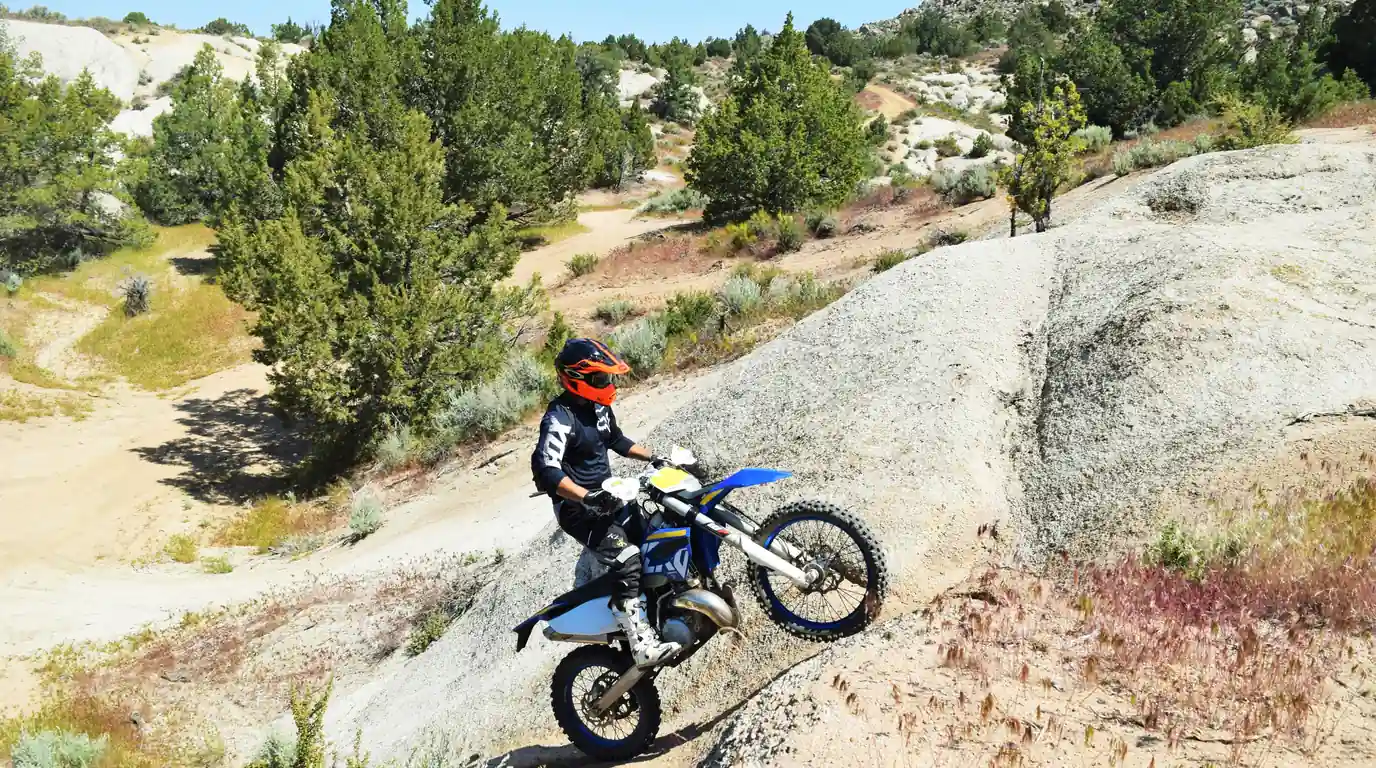
Off-road motorcycle ethics: ride trails without ruining them
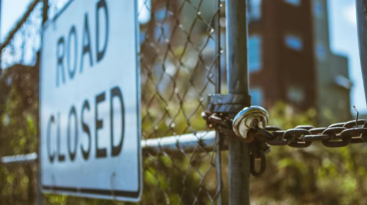
You get to the trailhead early, full of excitement and ready to have an amazing time exploring new terrain on two wheels; you unload the bike from the truck and find a new gate where there used to be an open dirt road. A laminated sign says the route is now closed to motor vehicles. Nobody tells you why. They don’t need to: the story is almost always the same, and it’s almost never written by just one person.
Trails don’t close on an office’s whim. They close by accumulation: a path that keeps getting wider, a creek that turns to mud, a complaint from neighbors, a run-in with horses that went wrong. And that accumulation works the other way too: every clean ride and every hour of volunteer work helps keep a trail open.
This off-road motorcycle ethics guide covers what you need to ride off the pavement without becoming part of the problem: where you can ride legally, how to behave on the trail, what the Backcountry Discovery Routes (BDR) are and how to help keep trails open.
In short: Trails close because of erosion, illegal routes, noise and conflicts with other users · Stay on designated routes: in national forests, the MVUM is the rule · Check your registration, spark arrestor and noise before you go · For long dirt-road trips, the Backcountry Discovery Routes (BDR) publish free routes on roads that are already open · In Mexico, ask permission on ejidos and check the management program of Protected Natural Areas · Helping is easier than it looks: clubs, workdays and state OHV funds.
Why trails close
Mostly because of our own bad manners, and also for natural reasons, such as erosion.
Erosion. A trail in good shape has drainage: water crosses it and keeps going. When tires spin, they dig ruts, and those ruts turn into channels. With the next rain, water runs down the trail instead of across it and carries the soil away, and that soil ends up in the creek.
Illegal routes. Two or three bikes going around a puddle or cutting a corner leave a new track, and that track invites the next rider. Before long there’s a shortcut nobody authorized and no agency maintains.
Noise. An open exhaust carries much farther than you think, especially in a canyon. It bothers neighbors, scares off wildlife and feeds the complaints that reach whoever decides what stays open.

Conflicts between users. As the saying goes, the sun rises for everyone. Friends, we need to show tolerance and consideration for all the people and creatures who enjoy the outdoors, the trails and the backcountry roads. In my opinion, motor vehicles are the least suited to this kind of trail, but we can still enjoy them with respect. Remember that hikers, mountain bikers, horseback riders and motorcyclists all share many of the trails that make us feel free and connected to nature. Keep in mind that one spooked horse weighs more in the record than a hundred quiet rides.
The Tread Lightly! principles and the idea of “Stay the Trail”
Tread Lightly! is a nonprofit dedicated to responsible motorized recreation. Its formula is an easy-to-remember acronym, TREAD, with five principles:
- T, Travel Responsibly: stay on designated roads, trails and areas, and go over obstacles instead of around them.
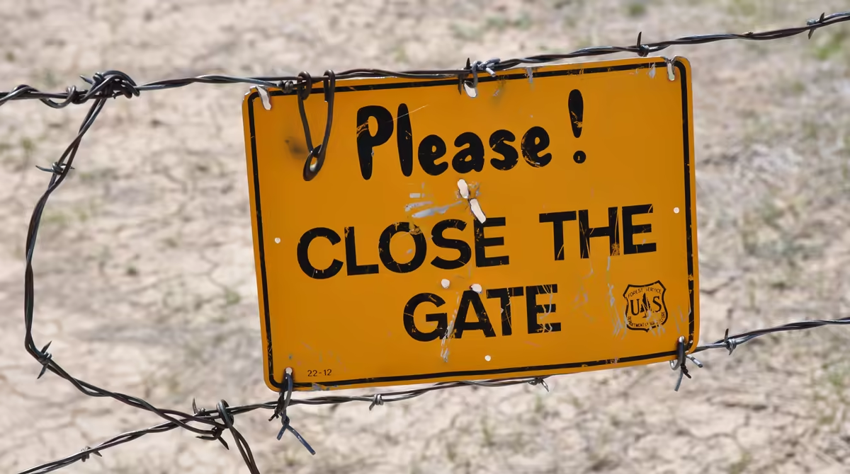
- R, Respect the Rights of Others: private landowners and other trail users. Leave gates as you found them.
- E, Educate Yourself: know the rules of the area and carry official maps before you go.
- A, Avoid Sensitive Areas: wetlands, stream banks, fragile soils and any place marked as sensitive.
- D, Do Your Part: set the example, pack out your trash and clean your bike so you don’t carry invasive seeds from one area to another.
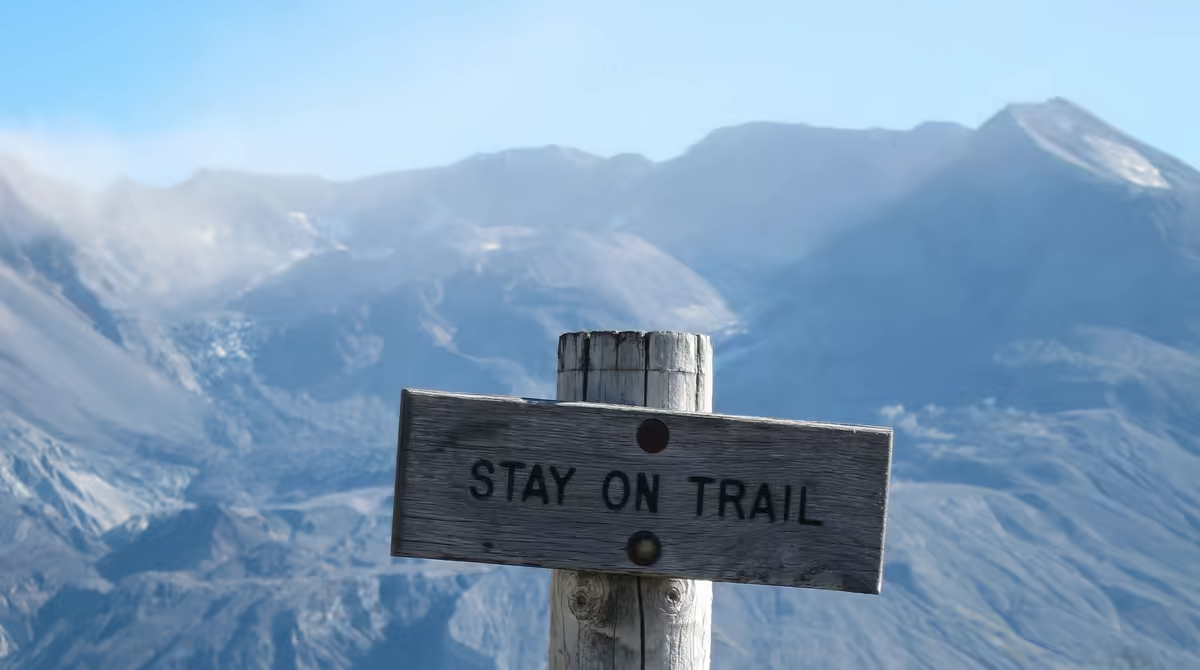
“Stay the Trail,” on the other hand, isn’t a Tread Lightly! principle but a separate program born in Colorado, from the Stay The Trail alliance, which has promoted responsible motorized recreation since 2003. Its message fits in one line: ride only on designated routes, respect the signs and don’t create shortcuts.
Where you can legally ride off-road in the United States
The question “can I ride here?” has a different answer depending on who manages the land. Before you head out, find out who that is.
National forests: the MVUM
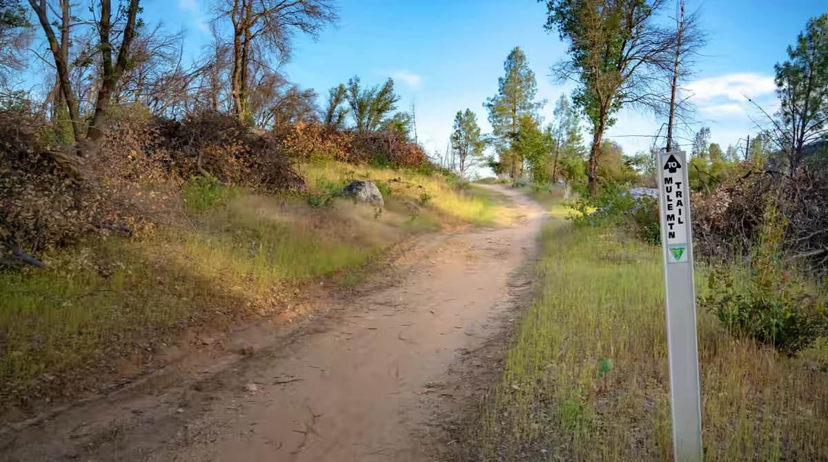
In national forests, the document that rules is the U.S. Forest Service (USFS) Motor Vehicle Use Map (MVUM). It shows the roads, trails and areas designated for motor vehicle use on National Forest System lands. Routes that don’t appear on the map aren’t designated, so they don’t count as open. A road that looks well used proves nothing.
MVUMs are free PDF downloads from each forest’s website, and many are also available in the Avenza Maps app with GPS location. Check the year of the file and read the legend: some routes apply only to certain vehicles or seasons.
BLM land
On Bureau of Land Management land, off-highway vehicle use falls into three categories: open (you can ride anywhere in the area), limited (only on designated roads and trails, or on existing ones, sometimes with seasonal or vehicle-type restrictions) and closed. Over time, the agency has tended to shrink large open areas and concentrate use on designated routes. Each field office publishes its own.
State OHV registration
Many states require an OHV registration or permit, and those fees usually go back into the trails. The process varies by state; check your state agency’s website. California is a good example:
- Green sticker: identifies vehicles that meet emissions standards and allows year-round riding on public lands open to OHVs.
- Red sticker: vehicles that don’t meet those standards, which can only be ridden during certain seasons set by the California Air Resources Board (CARB). The dates change, so confirm them with the agency or the park before you go.
- Out-of-state visitors: if your bike isn’t registered in your home state and you plan to ride in California, you’ll usually need the nonresident OHV use permit. Confirm the process with State Parks.
Spark arrestors
According to the Forest Service spark arrester guide, motorcycles, ATVs and buggies must comply with the spark arrester rule because they aren’t passenger vehicles. A muffler, even a street-legal one, does not count as a spark arrestor off the pavement. The exact requirement (for example, during fire restrictions or year-round) is set by each forest, so check it. Make sure your exhaust is listed as qualified in the official guide: a generic stamp isn’t enough, and a modification can void the qualification.
Off-road noise limits in California
California Vehicle Code section 38370 sets a limit of 96 dBA for most off-highway vehicles built on or after January 1, 1986, measured at 20 inches (about 50 cm) with the SAE J1287 method. Older ones are allowed 101 dBA. Competition vehicles have their own cutoff, 1998. This test is different from the 50-foot test used for street motorcycles. Other states and forests set their own limits. For the big picture, see emissions, exhaust and noise laws.
Backcountry Discovery Routes (BDR): adventure motorcycle routes across the U.S.
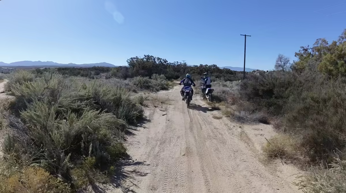
If you like the idea of crossing an entire state on dirt roads, barely touching a highway, you need to know the Backcountry Discovery Routes (BDR). It’s a U.S. 501(c)(3) nonprofit that creates off-highway routes for adventure and dual-sport motorcycle travel. Since 2010 it has published each route’s itinerary and GPS tracks for free, and it also sells printed waterproof maps and produces documentaries of its expeditions.
What BDR does and why it matters for off-road ethics
Its mission, in the organization’s own words, is to create, preserve and protect off-highway motorized access to public lands. Besides mapping routes, BDR advocates for that access with land agencies, teaches responsible land use and brings tourism to small towns that depend on the riders passing through.
That’s why it belongs in an ethics guide: its model is the opposite of blazing new trails. Concentrating riders on roads that are already open, what BDR calls “managed travel,” gives land managers reasons to keep those roads open instead of closing them. BDR itself asks riders not to leave the road, because that creates new trails and damages vegetation, and to stay on the designated track wherever a route crosses private land.
The 16 BDR routes and the 14 BDR-X routes
BDRs cross a state or a region, usually designed to be ridden south to north, over 600 to 1,300 miles (about 965 to 2,090 km) that take 5 to 9 days. There are 16 today: Arizona, California North, California South, Colorado, Idaho, Michigan (in development), Mid Atlantic, Montana, Nevada, New Mexico, North East, Oregon, South East, Utah, Washington and Wyoming.
BDR-X routes are shorter loops of 3 to 5 days, good for a long weekend: Adirondacks (New York), Big Bend (Texas), Black Hills (South Dakota), Chattahoochee (Georgia), Driftless (Wisconsin and Iowa, in development), Grand Staircase (Utah, in development), Hells Canyon (Idaho and Oregon), Lost Coast (California), Ozarks (Arkansas), PA Wilds (Pennsylvania), Red Desert (Wyoming), Steens/Alvord (Oregon), Texas Hill Country (Texas) and Vancouver Island (British Columbia, Canada, in development). There are also connector routes between BDRs and Canadian Discovery Routes. You can see them all in the routes overview and on the BDR-X page.
To ride them you need a street-legal motorcycle with a license plate, because much of each route runs on public roads, and BDR recommends taking an off-road course first. For most sections you don’t need a permit, but the land rules still apply: MVUMs, OHV registration, spark arrestors and fire restrictions. Read their FAQ and, if you’re going without company, plan it like a solo motorcycle road trip.
How to support BDR
- Become a Supporter: in 2026 the annual membership runs from 40 dollars (Evergreen) to 650 (Gold), with Bronze (150) and Silver (350) in between and a 5,000-dollar Lifetime option. According to BDR, that money keeps routes open, funds new route development and brings tourism dollars to small towns.
- Donate: they also take one-time donations on their donor page.
- Become an Ambassador: the BDR Ambassadors program brings together volunteers who help scout routes, maintain them and plan reroutes. It asks for at least 20 hours a year, and applications open from September to December.
- Report closures and changes: on Route Updates you can report a closed or damaged road with a description, GPS coordinates, photos and the GPX of the section. That way the next rider doesn’t run into a surprise gate.
- Ride them right: follow the track, don’t cut shortcuts, leave gates as you found them and pack out your trash. A route that’s well cared for is a route BDR can keep publishing.
Trail etiquette
The written rules cover what’s legal; etiquette covers what makes other people tolerate us.
Yielding the trail
The custom on shared trails is for motor vehicles to yield to people on foot and on horseback. If you see horseback riders, stop and turn off your engine out of respect for the people and the animals; if the horse gets nervous, ask how they’d like you to pass. With hikers, slow to walking pace, greet them respectfully and pass slowly: a smile and a “good morning” never hurt anyone. Whatever you do, don’t gun it as you ride away: dust and noise count too.
Riding in a group
A big group multiplies the impact. It’s better to ride in small groups, with a leader who knows the route and a sweep rider who doesn’t leave anyone behind. Tell oncoming riders how many bikes are still coming (“four of us, two more behind me”) and leave space between bikes to see the terrain; that way you also don’t eat your buddy’s dust. Don’t forget to stay in constant contact, whether by intercom or walkie-talkie. If someone breaks down, stop in an open spot, never in the middle of a curve.
Crossing creeks, mud and sensitive areas
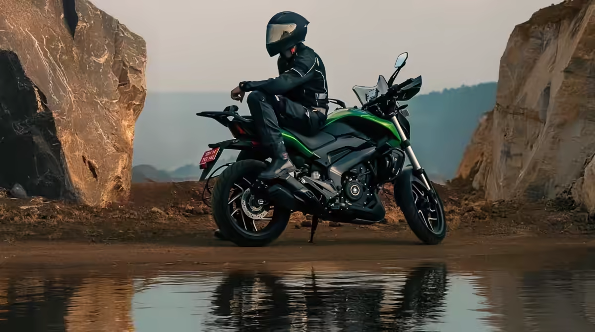
Stream banks are among the most fragile ecosystems along the trail. Cross only at a marked ford or a rock crossing, at low speed and without bursts of throttle that kick up sediment. Never ride up the streambed through the water. In mud, the Tread Lightly! rule is to go over the obstacle instead of around it, because going around widens the trail and destroys vegetation. If the mud is so deep you’ll leave ruts, it’s better to turn around. Some routes close seasonally precisely to protect wet soil.
Also stay away from meadows, wetlands and the area around nests or wildlife shelters.
Pack out your trash
For the love of Mother Nature, whatever you carry to the trail fits in your pack on the way back: wrappers, bottles, blown inner tubes, tape. Bring a bag and pick up what you can of other people’s trash; sadly, not everyone cares. A tip some friends gave me, and honestly I had no idea: before moving to a different area, clean your tires and the underside of the bike, because that’s how invasive seeds travel. A short checklist before you go:
- Official map downloaded and reviewed.
- Current OHV registration or permit, spark arrestor confirmed and exhaust within the rules.
- Trash bag and enough water.
- Tire tools and a first aid kit.
- Someone who knows your route and when you’ll be back.
And as always: full gear. Helmet, gloves, boots, chest and knee protection are non-negotiable; an intercom and a way to communicate are a plus that can get you out of a jam. If you’re just starting out, go over getting started on a motorcycle and the technique in motorcycle confidence, which helps a lot on loose ground.
Riding in Mexico: ejidos, communities and protected areas
Much of rural Mexico is communal property. Ejidos and agrarian communities belong to their members, and their decisions are made in an assembly. No gate doesn’t mean free passage. The respectful thing, and the one that avoids trouble, is to ask permission ahead of time: look for the ejido commissioner (comisariado ejidal) or the community representative, explain how many bikes are coming and where you’ll ride, ask whether there’s a fee or a local guide, and respect what they tell you.
Protected Natural Areas (Áreas Naturales Protegidas, ANP) follow a different logic. They are run by Mexico’s National Commission of Protected Natural Areas (CONANP), and each one has its own management program, with zoning that defines what you can do in each part. According to CONANP information reported in the press in 2025, in places like Nevado de Toluca off-road vehicles, including motorcycles and ATVs, can’t enter the core zone and no permits are issued for it; the agency has taken legal action against people who did. For recreational tourism with vehicles there’s an authorization process in ANPs, but it’s meant for tour operators, not for a private ride.
Before you plan a route in Mexico, check the area’s management program on the CONANP website, ask the park’s management office and confirm whether there are public roads open to traffic.
How to help maintain trails
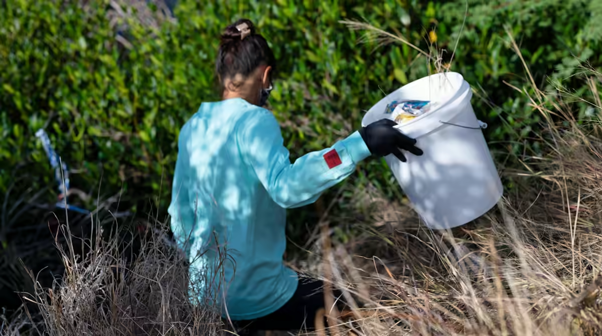
Taking care of a trail isn’t just about not damaging it. Much of what’s open today exists because someone maintains it.
Volunteer workdays with clubs and associations
Local clubs and associations organize workdays to clear drains, remove rocks and fallen trees, put up signs and repair crossings. You don’t need experience: you show up, they assign you a task and you learn the trade. Ask at the local forest or BLM office and at off-road motorcycle clubs.
Adopt a trail
Several BLM offices have “adopt-a-trail” programs, where a group or an individual commits to a section through an agreement with the agency: the agency sets the standards and provides basic training, and volunteers bring tools and protective gear. It’s a real commitment, not a photo for social media. Ask at your local office; not all of them offer it.
State OHV funds
A good share of the money for motorized trails comes from registration fees. In California, the State Parks Grants and Cooperative Agreements Program (GCA) pays for maintenance, restoration, education and law enforcement. Nonprofits (501(c)(3)), public agencies and tribal governments can apply, and projects require a match of at least 25 % of the cost, which can be covered with services or materials, in other words with volunteer hours. The details are on the California grants portal; that listing shows as closed, so look for the current call for applications. Your OHV registration helps too, by the way.
Map apps
Apps like onX Offroad or Gaia GPS help you find your location and see which land is public or private. They’re reference tools, not the authority: their data can be out of date, and what counts is the MVUM, the BLM designation or the agency’s rule. If the app and the official map disagree, the official map wins.
Frequently asked questions
Why do off-road trails close?
Mostly because of riders’ bad manners: illegal routes, loud exhausts and conflicts with hikers, mountain bikers and horseback riders. Natural causes, like erosion, play a part too. Every bit of damage and every complaint adds up in the record of whoever decides what stays open.
What does TREAD stand for in Tread Lightly!?
Five principles: Travel Responsibly, Respect the Rights of Others, Educate Yourself, Avoid Sensitive Areas and Do Your Part.
How do I know if a national forest road is open to motorcycles?
Check the MVUM for the forest you’re visiting. If the route doesn’t appear on the map, it isn’t designated for motor vehicle use. Download the latest version and read the legend for vehicle type and season.
Do I need a spark arrestor on my dirt bike?
On Forest Service land, yes: motorcycles and off-highway vehicles must have a qualified one when the forest’s rule or a current fire order requires it. A street muffler doesn’t qualify. Check the official guide and the forest’s rule before you go.
What’s the difference between a green sticker and a red sticker in California?
A green sticker allows year-round riding; a red sticker limits use to certain seasons set by CARB. It depends on whether the vehicle meets emissions standards. Confirm the dates with State Parks before you go.
What are the Backcountry Discovery Routes (BDR)?
They’re off-highway adventure motorcycle routes that cross a U.S. state on dirt and forest roads. A nonprofit designs them, and the itinerary and GPS tracks are free to download at ridebdr.com.
Do I need a permit or a special motorcycle to ride a BDR?
You need a street-legal adventure or dual-sport motorcycle with a license plate. Most sections don’t require a permit, but check the route updates and each forest’s or state’s rules before you go.
Can I ride on an ejido in Mexico if there’s no gate?
Don’t assume so. The land may be communal property, and entry requires permission from the ejido or community authorities. Ask first, follow their conditions and don’t leave trash behind.
How can I help if I’m not a mechanic and don’t have tools?
Just showing up to a workday is enough. Clubs and agencies assign simple tasks and lend tools. Packing out your trash, reporting damage and keeping your OHV registration current also help.
How can I support BDR?
With an annual Supporter membership (from 40 dollars in 2026), a donation, the volunteer Ambassadors program or by reporting closures and changes in the Route Updates section of their website.
Ride with memory
An open trail is an agreement between the people who use it, the people who care for it and the people who live nearby. You can’t control how others behave, but you can control your own footprint: the route you choose, your speed at the crossing, the bag you carry back and the Saturday you give to a workday. Added up, that’s what keeps trails open for the next ride.
Photos
Cover: BLM California, via Wikimedia Commons · Public domain.
Photo 1: Travis Saylor, via Pexels · Pexels License.
Photo 2: cnrdmroglu, via Pexels · Pexels License.
Photo 3: Tom Fournier, via Pexels · Pexels License.
Photo 4: Channel Iskatel, via Pexels · Pexels License.
Photo 5: the author’s personal archive.
Photo 6: BLM California, via Wikimedia Commons · Public domain.
Photo 7: Jona Scheuber, via Pexels · Pexels License.
Photo 8: the author’s personal archive.
Photo 9: Archit Rege, via Pexels · Pexels License.
Photo 10: Alfo Medeiros, via Pexels · Pexels License.

